Meteorological data

Local weather data for better decisions

Monitor weather and conditions exactly where they matter. Logimic connects meteorological and environmental stations into one platform, alerts you to important changes and makes current and historical data available to the people and systems that need it.

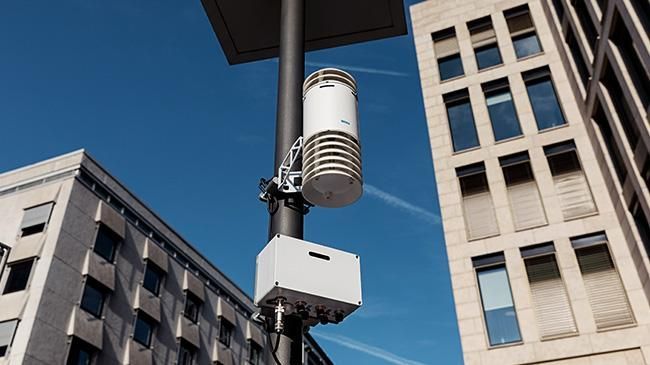
Professional weather station in real deployment
Live data
from local stations
Automated alerts
when thresholds change
History
for analysis and reporting
Dashboards
for operators and public
API
for connected systems

A forecast says what might happen. Local measurement shows what is happening where you operate.

Weather and conditions can differ between parts of a city, road sections or operational sites. Local stations provide data from the places you need to monitor — and Logimic turns them into one overview, alerts and history.

General forecast

Information for a wider area.

Local measurement

Data from the specific locations you manage.

More context for decisions. Less reliance on estimates.

One dataset. Many ways to use it.

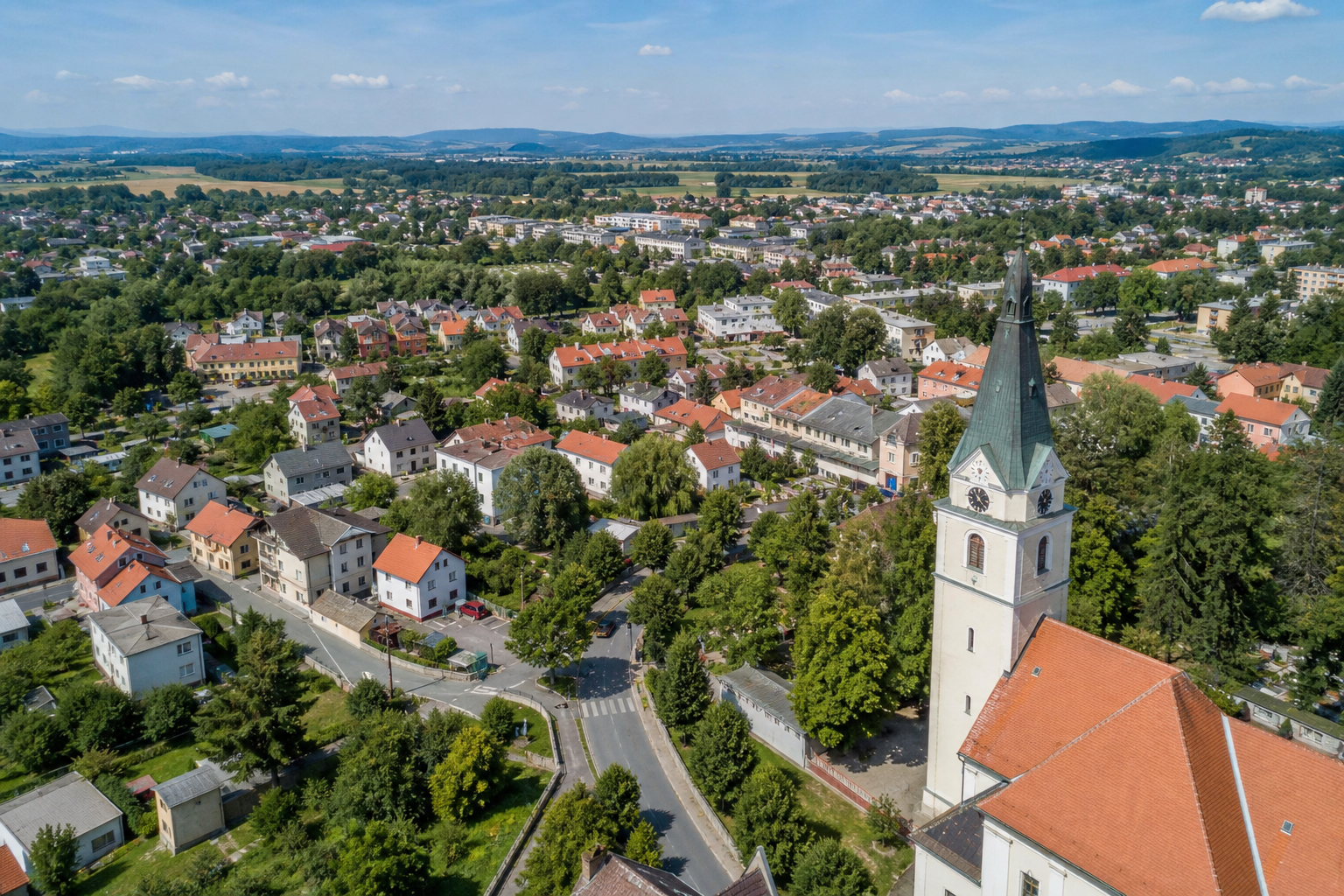
Aerial view of a town

Municipalities

Gain your own local weather and environmental data. City leadership gets a clearer picture and selected data can be shared transparently with residents.

  • local meteorological data,
  • environmental monitoring based on connected sensors,
  • history and trends,
  • alerts on configured values,
  • public dashboards,
  • data for other municipal systems.
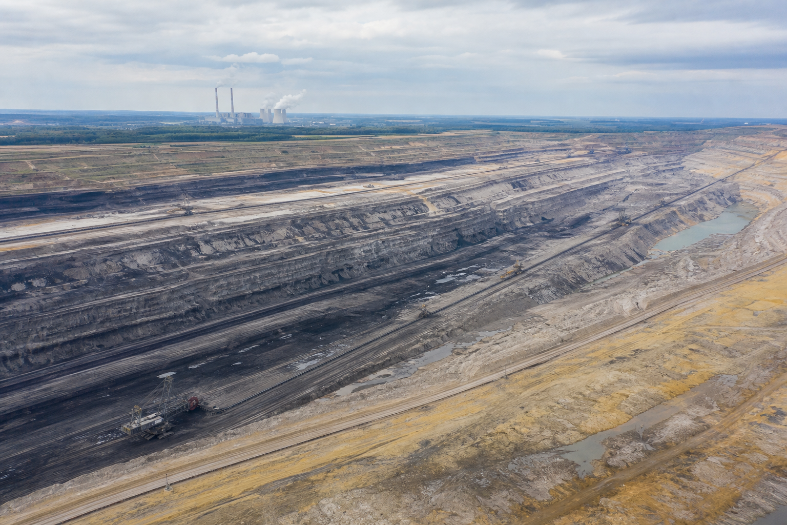
Open-pit mine — challenging site for environmental monitoring

Technical services

Monitor conditions across different parts of the city without visiting every location in person. Alerts and measurement history give technical teams additional inputs for planning interventions.

  • monitoring of multiple locations,
  • automated alerts,
  • remote access,
  • measurement history,
  • fewer manual checks,
  • data before a crew goes out.

Winter maintenanceGreen-space careMunicipal infrastructureExtreme weather

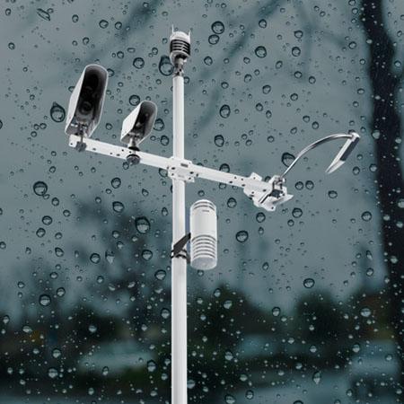
Professional Vaisala weather station mounted on a pole

Road and highway management

Local meteorological data from individual locations can complement the information dispatch uses to plan road maintenance and respond to changing conditions.

  • monitoring of multiple locations and sections,
  • alerts on configured meteorological values,
  • current and historical data,
  • shared dashboard,
  • API for other systems,
  • inputs for planning interventions.

From measurement to decision

1

Measurement

The station monitors conditions at a specific location.

2

Evaluation

Logimic stores data and evaluates configured rules.

3

Alert

When an important value is reached, the responsible person receives an alert.

4

Decision

Dispatch or technical services see the location, current status and recent trend.

It is not just about collecting data.

It is about getting the right information to the right person in time.

What can a typical situation look like?

  1. 04:30

    At one monitored location, a meteorological value approaches a configured critical threshold.

  2. Logimic

    The platform evaluates the configured rule and alerts the responsible person.

  3. Dispatch

    The operator sees the specific location, current values and their recent trend.

  4. Decision

    They have additional local data to decide whether and where to send a crew.

What can you monitor?

The range of measurements depends on the station and connected sensors used.

Temperature

Relative humidity

Atmospheric pressure

Wind

Precipitation

Air quality

Particulate matter

Other environmental parameters

Available parameters vary by meteorological station type and sensors.

All locations in one place

Whether you operate one station or a network of devices across several locations, the data is available in one environment.

Current status

Monitor current values from connected stations.

Location map

See where each device is located and what it is measuring.

Automated alerts

Define limits and rules for values that need attention.

History and trends

Track how values develop over time and compare locations.

Reporting

Use measured data for operational and environmental reports.

Public dashboard

Selected data can be shared with residents or the public.

API

Pass data to municipal, enterprise or dispatch systems.

Everyone sees the information they need

City leadership

Overview, trends and information for decision-making.

Dispatcher

Current values and alerts that need attention.

Technical services

Data from specific locations before a site visit.

Public

Selected data through a public dashboard.

Other systems

Access to data through an API.

Deployed in practice

Jenišov: local data for the municipality and its residents

In Jenišov, meteorological station monitoring runs on the Logimic platform. The municipality has access to measured data and selected information is available to residents through a public dashboard.

Weather station
Logimic
Municipality Public dashboard
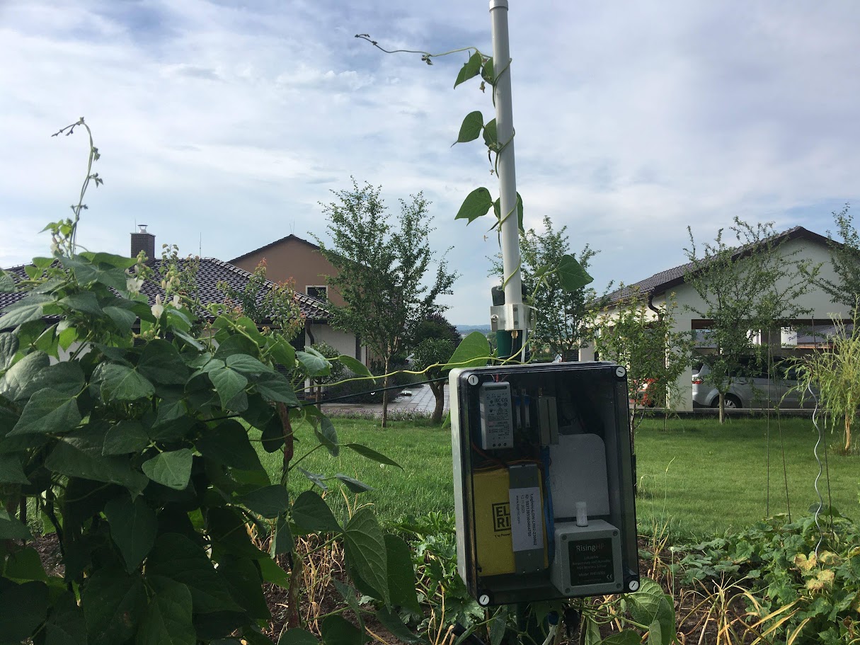
Weather station deployed in Jenišov
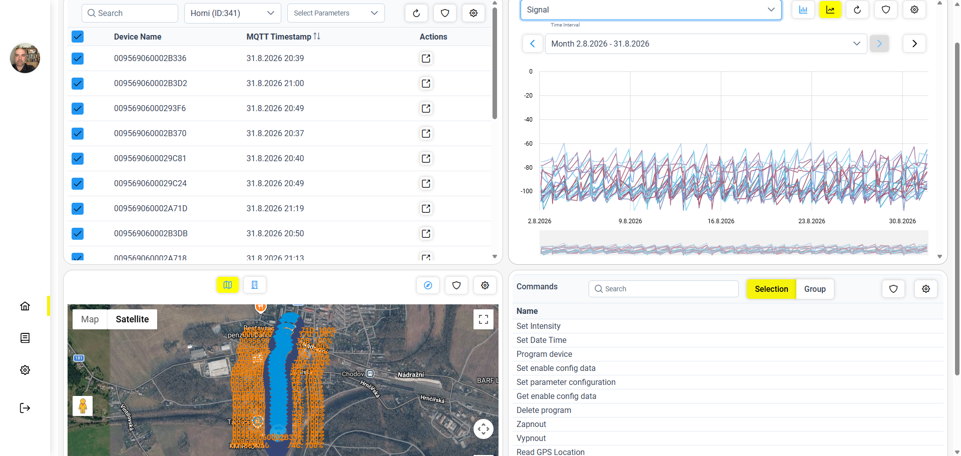
Data overview on the Logimic platform
Platform data overview

Weather stations do not have to be another isolated system

Meteorological data can be part of the same platform as other municipal infrastructure. The city does not need a separate system, user management, dashboard and integration layer for every technology.

Public lighting Weather stations Building monitoring Water management Energy monitoring
Logimic
Dashboards · Alerts · History · Users · API

One platform. Multiple municipal technologies.

Learn more about municipal solutions →

Professional stations. One data platform.

Logimic works as a data and integration layer between field devices, users and other systems.

The platform supports professional stations such as Vaisala AQT-x and AQT560 and can be extended with other compatible devices according to project requirements.

Vaisala / compatible sensors Connectivity Logimic Dashboard / alerts / API
Professional Vaisala weather station

Example supported hardware

Professional Vaisala stations are one verified device type that can be connected to the Logimic platform. Logimic does not sell hardware — it provides the data and integration layer.

Outdoor sensor node

For system integrators

You do not need to build a custom IoT backend, device management, dashboards, alerts, history and API for every project. Logimic provides a reusable platform you can build your own solutions on.

Solutions for OEMs and integrators →

Frequently asked questions

Why use local weather stations when we already have a forecast?

A forecast describes expected weather across a wider area. Local stations complement it with actual measured values from the places you need to monitor.

Can we monitor multiple locations at once?

Yes. Data from multiple connected stations can be viewed in one environment and locations can be compared.

Will we receive alerts for important values?

Yes. For supported measurements, rules and limits can be defined so the platform alerts responsible users when they are reached.

Can residents see the data?

Yes. Selected information can be published through a public dashboard, while operational data remains available only to authorised users.

Is the solution suitable for winter maintenance?

Local meteorological data can serve as one input for winter maintenance planning. Specific capabilities depend on the type of installed sensors and required measurements.

Can the data be connected to our existing system?

Yes. Logimic offers an API for integration with municipal, operational or dispatch systems.

Do we have to use a specific weather station brand?

The platform is not designed for only one device type. Integration options depend on the interface and connectivity of each station.

Need to know what is happening at specific locations?

Tell us whether you are planning for a municipality, technical services, roads or an industrial site. We will show you how local data can be collected, evaluated and delivered to the people or systems that need it.

Discuss our project Book a demo

We turn field data into information for better decisions.